Gallery
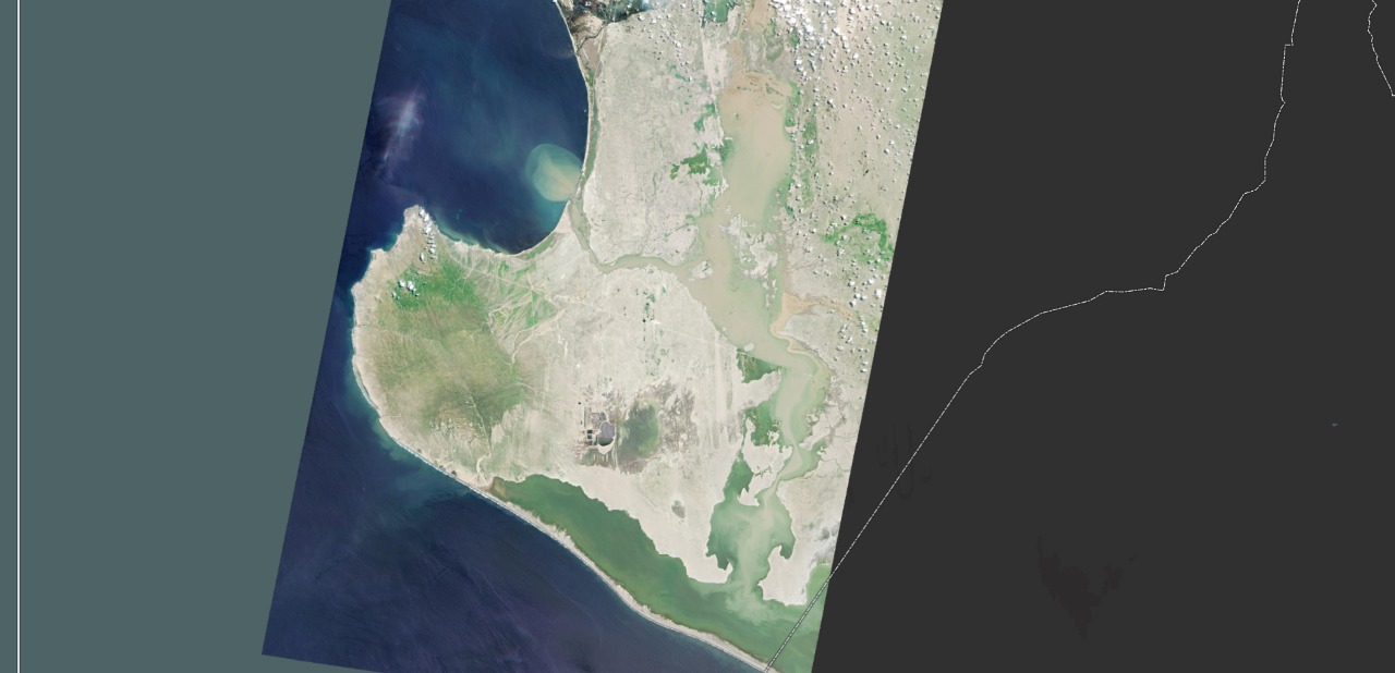
Banner 00: Landsat view of Piura flooding dated 27.03.2017:
Ramon-Napique Lagoons - Chutuque canal (Piura river alignment) - Pampa Las Salina - La Nina lagoon - Estuary of Virrilá.
Note that water and suspended sediments are impounded at the north part (Ramon-Napique Lagoons), the reelase through Chutuque canal is limited by overflow to Pampa Las Salina. And from this last point to La Nina lagoon and the estuary of Virrilá. Note the reduced suspended sediments ejection through the estuary of Virrilá into the Pacific Ocean. Diffrence of elevation between Chutuque inlet and outlet is around 10 m high. River aggradation (sedimentation) phenomena occurs from Ramon-Napique lagoons to upstream, reaching Piura City, reducing hydraulic capacity and the failure of the flood control system.
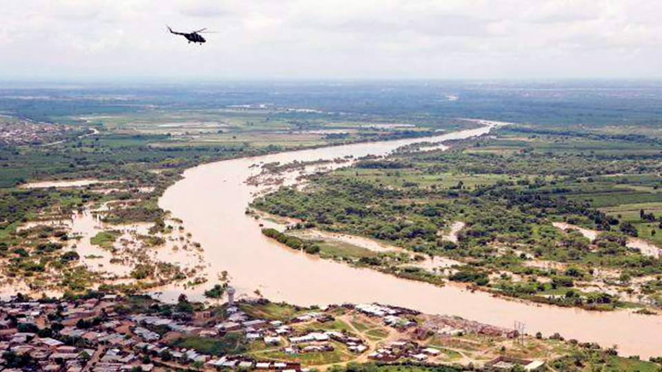
Banner 0: Aerial view of Piura River flooding aggriculture lands nearby Piura city on 27.03.2017.
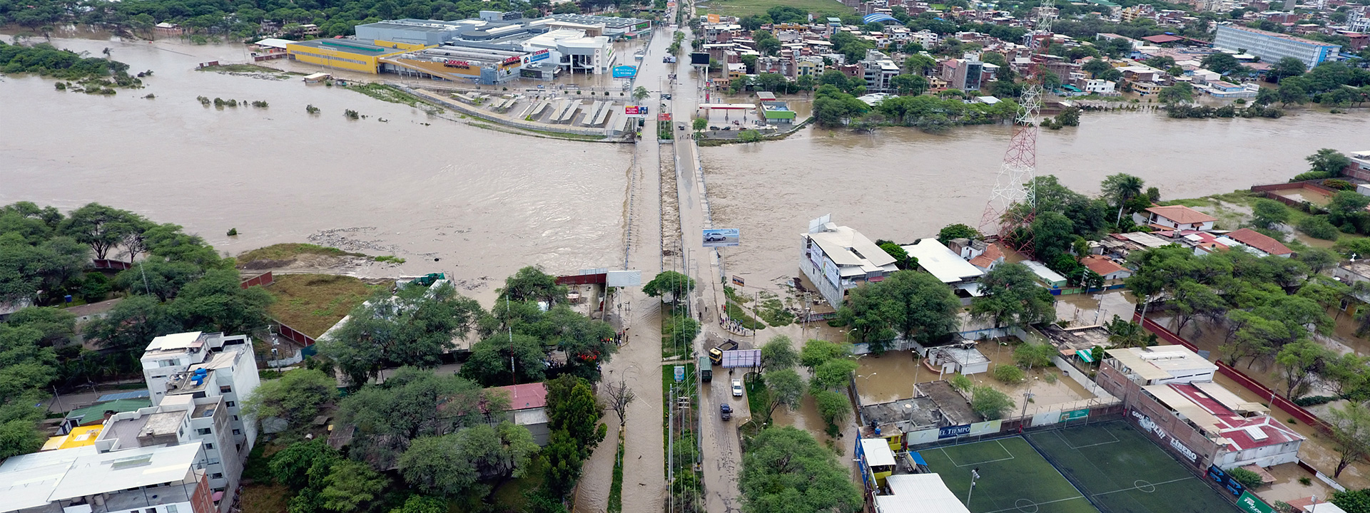
Banner 1: Flooding of Piura City by Andres Avelino Cáceres Bridge on 27.03.2017.
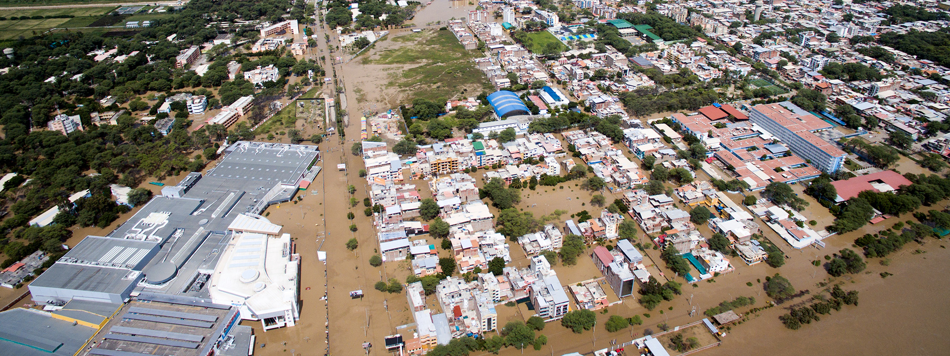
Banner 2: Flooding of Piura City on 27.03.2017. Open Plaza mall and main urbanization area flooded.
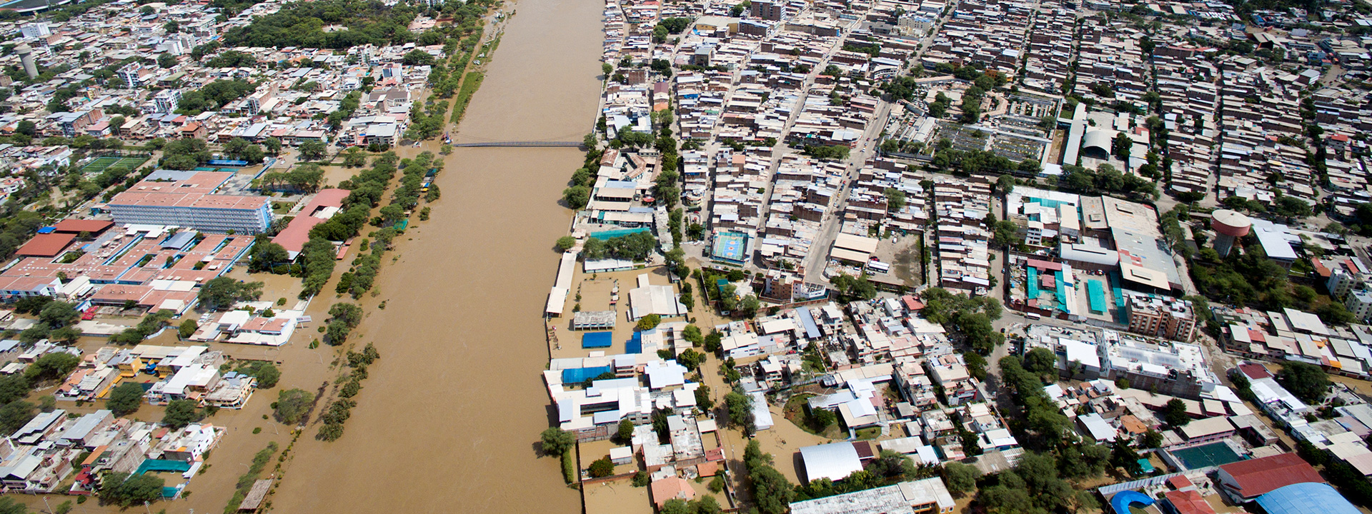
Banner 3: Flooding of Piura City on 27.03.2017. View nearby Sanchez Cerro Bridge, Piura downtown.
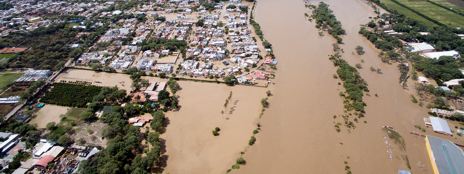
Banner 4: Flooding of Piura City on 27.03.2017. Flooding of urbanization area and surrounding aggriculture lands.
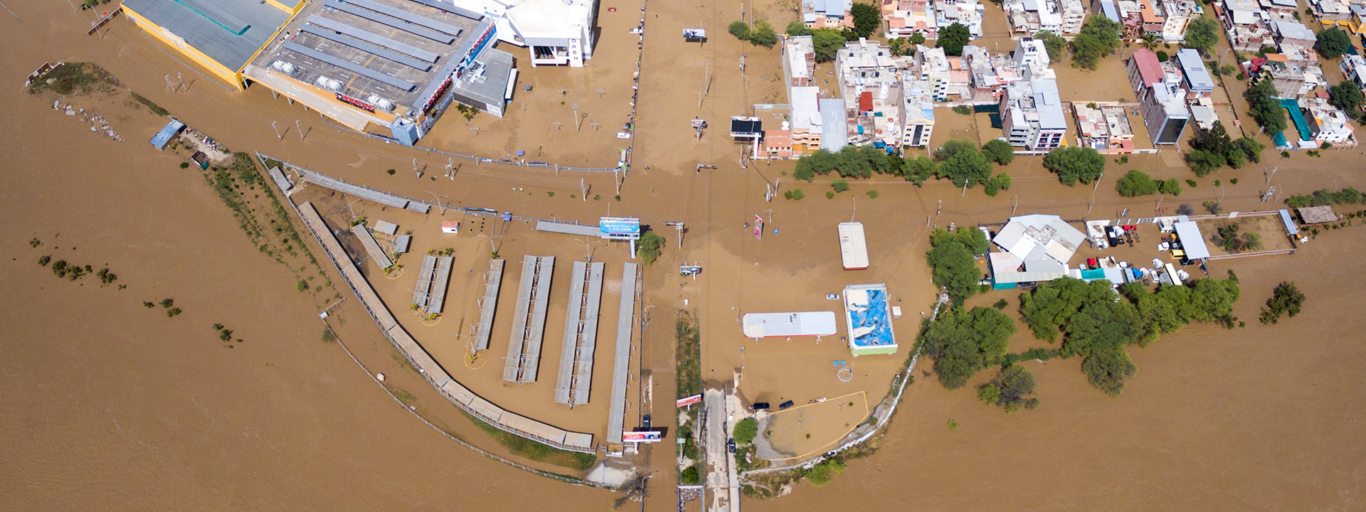
Banner 5: Flooding of Piura City on 27.03.2017. Other view of Open Plaza mall and main urbanization area flooded.
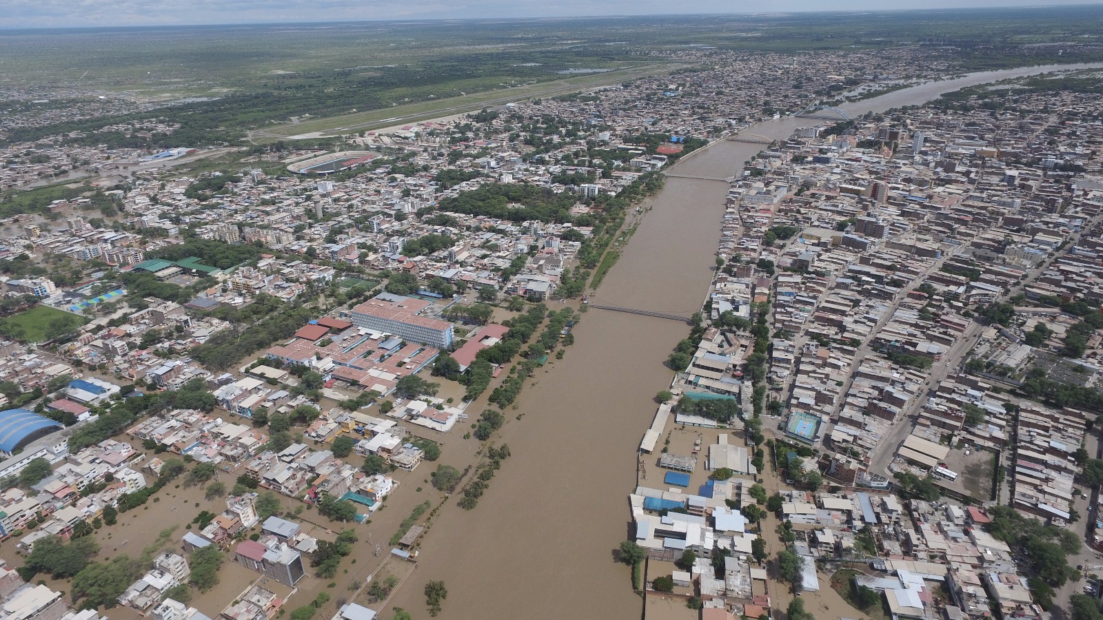
Banner 6: Landscape view of Piura City flooded on 27.03.2017.
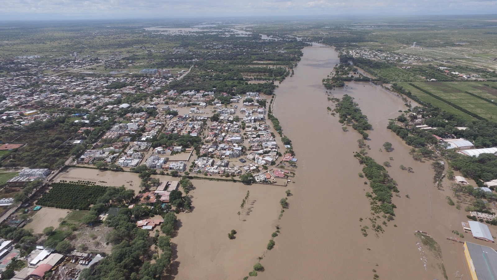
Banner 7: Landscape view of Piura City flooded on 27.03.2017.
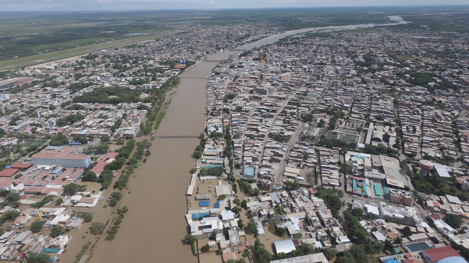
Banner 8: Landscape view of Piura City and surrounding aggriculture lands flooded on 27.03.2017.