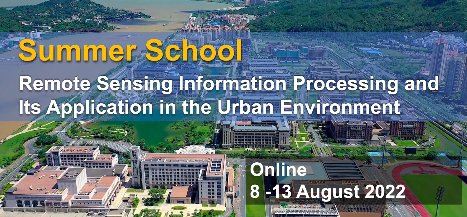
Summer School: Remote Sensing Information Processing and Its Application in the Urban Environment
« Back to list of video collections

The Summer school is organized by the State Key Laboratory of Internet of Things for Smart City (University of Macau), co-organized by Aerospace Information Research Institute (Chinese Academy of Sciences), and financially supported by the Alliance of International Science Organizations. It is intended for early career scientists and engineers with research interests in remote sensing techniques and urban environment.
The purpose of this training program is to share knowledge, skills, resources and codes in the field of remote sensing information processing and urban environment. The participants and audiences will be able to learn the application of urban remote sensing techniques.
The theory on the urban environment and remote sensing, in combination with many application cases will be introduced. The course contents will focus on a complete chain of remote sensing science + technology + application with theory, application and analysis. It includes the major topics of remote sensing technology, remote sensing data processing, characterization of the urban environmental factors, advances in model- data fusion, and prediction of the urban hazards.
The course will teach how to apply radar and remote sensing techniques to conduct land surface modelling and hydrometeorological monitoring. Both global-scale satellite products and high-resolution products will be interpreted. The course will also systematically introduce the latest technical progress and applications of specific remote sensing techniques in water conservancy, land use, city construction, environment, disaster, and meteorology.
-
A brief introduction to Remote Sensing Information Processing and Its Application
2022-09-14 -
PIE Remote Sensing Data Processing Software Introduction and Training - Part 1
2022-09-14 -
PIE Remote Sensing Data Processing Software Introduction and Training - Part 2
2022-09-14 -
PIE-Engine Geospatial Cloud Computing Service Platform Introduction and Training
2022-09-14 -
Urban Green Space Remote Sensing - Part 1
2022-09-14 -
Urban Green Space Remote Sensing - Part 2
2022-09-14 -
Introduction, concepts, and the importance of remote sensing techniques for Cultural Heritage Objects
2022-09-14 -
Urban Heat Space Remote Sensing - Part 1
2022-09-16 -
Urban Heat Space Remote Sensing - Part 2
2022-09-16 -
Technics, Technologies and Products of remote sensing techniques used in Cultural Heritage domain
2022-09-16 -
Interpretation of remote sensing and radar data: Data acquisition and data processing Part 1 & Part 2
2022-09-16 -
Interpretation of remote sensing and radar data: Data acquisition and data processing Part 3 & Part 4
2022-09-21